Smart Yatra
Problem it solves
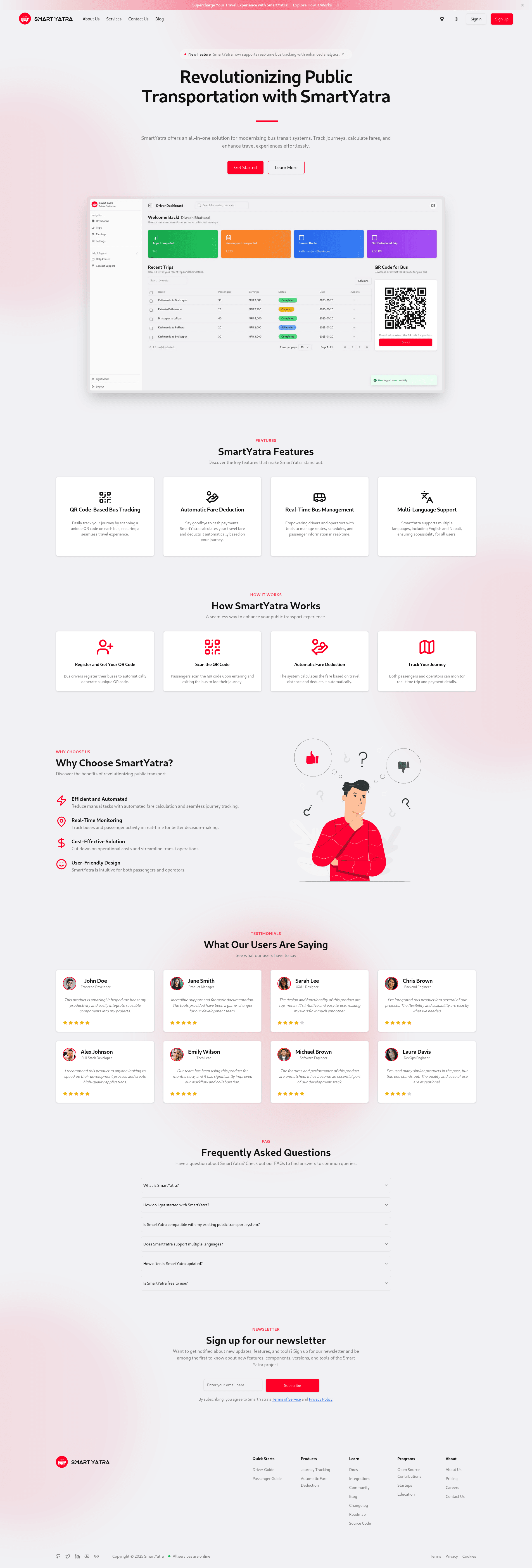
A digital public transportation system utilizing QR codes for fare collection and route optimization in Kathmandu Valley.
Overview
Smart Yatra is a digital public transport management system that enhances commuting efficiency in Kathmandu Valley. It enables passengers to board and exit buses using QR codes, calculates fares based on travel distance, and optimizes routes using OpenStreetMap and OSRM API.
Architecture and technical approach
Powered by OpenStreetMap and OSRM API, Smart Yatra supports real-time route optimization and distance-based fare calculation, providing a seamless experience for both passengers and bus operators.
Implementation used Next.js, TypeScript, Tailwind CSS, Laravel, MySQL, OpenStreetMap, and Leaflet.js. The same names appear on the skills page.
Key features
- QR code-based bus boarding and fare payment
- Automated distance-based fare calculation using Haversine formula
- Bus route mapping with OpenStreetMap and OSRM API
- User authentication and profile management
- Admin panel for route and fare management
- Secure database management with Firebase and MySQL
- Custom map integration with Leaflet.js
- Mobile-friendly and responsive UI
Technologies used
- •Next.js
- •TypeScript
- •Tailwind CSS
- •Laravel
- •MySQL
- •OpenStreetMap
- •Leaflet.js
Challenges and solutions
Building Smart Yatra required integrating multiple APIs and ensuring real-time updates for route optimization and fare calculation. Handling large datasets for route mapping and ensuring a seamless user experience across devices were key challenges.
Contribution and what I learned
Building Smart Yatra was a rewarding experience that enhanced my understanding of API integrations, real-time data handling, and responsive design. The project also helped me tackle challenges like cross-browser compatibility and optimizing map rendering for large datasets.
More product work is on all software projects. Featured work is also previewed on Diwash Bhattarai's homepage.